On June 9, 2026, the City of Santa Barbara posted a notice at the Cliff Drive overlook, the pullout locals have called Makeout Point for decades, saying the parking area would close for 30 days while Public Works studied a run of complaints about speeding, noise, and late-night nuisance activity. Thirty days would have put the reopening somewhere around the second week of July.
By July 24, the barricades were still up. By July 31, the city's own spokesperson was telling the Santa Barbara News-Press that reopening "should happen mid-August," which is another way of saying it hadn't happened yet, more than five weeks after the original deadline. Whether the pullout is back open to cars by the time you read this, the extension itself is the more useful story, because it's a small, live demonstration of exactly how the much bigger reconstruction already scheduled for the rest of Cliff Drive is likely to unfold.
A 30-Day Notice That Kept Moving
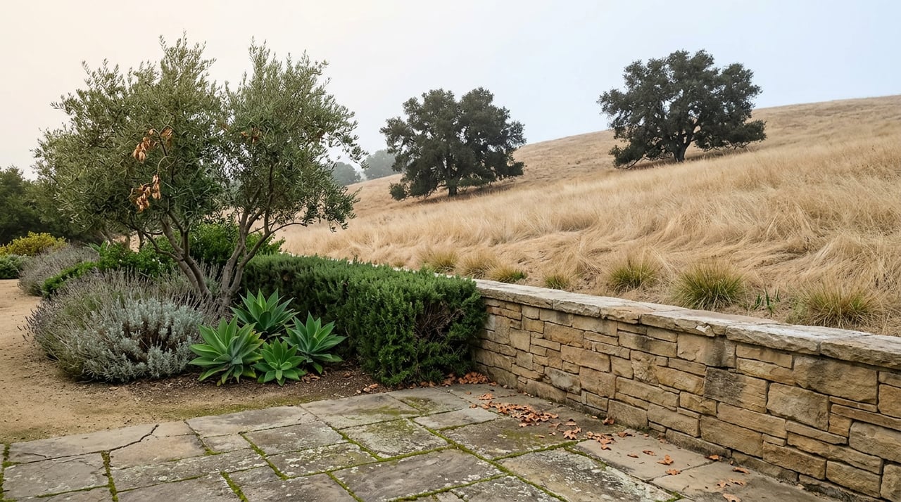
The overlook sits between Hendry's Beach and Hope Ranch, a westernmost stretch of Cliff Drive where the road opens up to views of the coastline, the Channel Islands, and on clear days, the airport and UC Santa Barbara in the distance. News Channel 3-12 reported on June 18 that the city had closed the parking area for a stated 30 days so staff could test traffic patterns and safety configurations, with the roadway itself remaining open to through traffic. That 30-day framing is what makes the next two months notable.
By mid-July, coverage of the closure noted that the original window had already been extended with no firm date attached. On July 24, Public Works posted fresh notices along the barricades, and the Santa Barbara Independent reported that the south, ocean-side pullout was "tentatively scheduled to reopen in mid-August," while the city continued weighing longer-term options that could include reopening the space during the day and restricting it at night. A week later, City Councilmember Eric Friedman, whose district includes the overlook, told the News-Press that the closure was temporary and that reopening remained a priority, even as staff kept working through a formal evaluation.
None of that is unusual for a city agency managing a contested public space. What's worth noticing is the gap between how the closure was announced and how long it has actually taken to resolve, because that gap is a small-scale version of what's coming for the entire corridor.
Why a Parking Pullout Ended Up in Front of the City Council
The disagreement here isn't abstract. Friedman has described years of accumulated complaints from nearby residents, including illegal dumping, drug use, excessive speeding, and street racing at the overlook. Public Works Operations Manager Adam Hendel has said there wasn't one triggering incident, just a buildup of noise and nuisance complaints that made the city try enforcement first and eventually conclude that the added patrols weren't sustainable long term.
Not everyone wants the same outcome. Business owner Autumn Fish told KEYT she'd rather see the pullout open to the public, noting there aren't many places left where you can simply pull up and watch a sunset. Councilmember Oscar Gutierrez, who represents District 3, pushed back publicly on any move toward permanently restricting access:
"To all the people that live in the area that are complaining about what's happening here, I apologize for the discomfort, but this is a public street and we're not going to make it private because you feel uncomfortable."
Other residents see it differently. Peter Amir, who lives nearby, has described the area as having grown more problematic over time, echoing the concerns that led to the closure in the first place. Mayor Randy Rowse has framed the city's approach as an attempt to balance neighborhood complaints against the public's long history of using the space, and any permanent reconfiguration will likely require a Coastal Development Permit reviewed by the Planning Commission, a process that hasn't started yet. That means even a mid-August reopening for cars wouldn't close the question. It would just pause it.
The Bigger Project This Is Rehearsing
Cliff Drive was originally built as a state highway. Caltrans handed the corridor over to the city in 2014 after years of local lobbying, and in 2018 the city adopted a Vision Zero strategy aimed at eliminating severe and fatal collisions on its highest-risk streets. Cliff Drive ranks among the top two priority corridors under that framework.
In late 2022, the city was awarded $54 million through California's Active Transportation Program for a set of projects spanning Cliff Drive, Milpas Street, and the Westside and Lower West neighborhoods, with roughly $27 million of that earmarked for Cliff Drive itself. Design and environmental review began in 2023. Community meetings ran in November 2023 and again in June 2025, with Spanish-language translation offered at both. As of the city's most recent project update, the design is nearly final, with public advertisement for construction bids planned for fall 2026 and construction expected to begin in spring 2027.
What actually changes when that happens is substantial: a 3.1-mile separated multiuse path running from Arroyo Burro County Park to Castillo Street, four new traffic signals, fourteen new crosswalks, safety upgrades to four existing ones, curb extensions, median refuge islands, and rapid flashing beacons at crossings. The project closes the last remaining gap in the 30-mile South Coast Coastal Bike Route, which will then run unbroken from UC Santa Barbara to the Ventura County line. It also reconfigures the stretch in front of Santa Barbara City College, relocating the East Campus entrance and adding a signal at the West Campus entrance, and adds a new crosswalk near Salida del Sol specifically to help kids walking to Washington Elementary, with additional connections serving Monroe and McKinley Elementary.
Here's how the three efforts currently underway on the same street line up:
| Project | Current status | Timeline |
|---|---|---|
| Overlook parking evaluation | Barricaded since June 9; reopening described as a target, not confirmed, as of late July | No firm end date; Coastal Development Permit review likely for any permanent change |
| Water main replacement | Active construction, moving east from the Las Positas roundabout | Night work at Meigs Road began mid-August 2026, expected complete by early November 2026 |
| Vision Zero separated path | Design nearly final | Public bid advertisement targeted for fall 2026, construction expected spring 2027 |
What This Means If You're on Cliff Drive This Fall
The water main project is the one with the most immediate, physical impact right now. Crews have been working east from the Las Positas Road roundabout since last fall, replacing aging pipes, valves, and hydrants ahead of the bigger street work to come. As of early August, the city announced night construction at the Meigs Road intersection, running 8 p.m. to 7 a.m., with completion targeted for early November. If you live along that stretch, the noise and occasional detours through this fall are the direct result of infrastructure being laid in the ground before anyone touches the pavement above it.
That sequencing matters, because it tells you something about how the rest of this will go. A closure billed as a month-long study has already run more than double that, with officials still describing the resolution in future tense weeks past the date they first gave. A $27 million reconstruction of the entire corridor, one that has already taken over a decade of lobbying, funding applications, and community meetings to reach a spring 2027 groundbreaking, isn't going to arrive on a tidier schedule. Expect the work to move in segments rather than all at once, likely pushing east the way the water main project has, and expect pieces of it, like whatever the Planning Commission eventually decides about the overlook, to still be unresolved well past the dates the city first floated.
None of this is a complaint about how the city is handling it. Vision Zero corridors are genuinely difficult to redesign, and a decade of public process is part of how a $27 million grant gets spent responsibly on a street with a documented history of severe collisions. It's simply the honest version of the timeline, for anyone who walks, bikes, or drives Cliff Drive often enough to want to know what's actually coming and when.
Sandy Lipowski tracks changes like this along the South Coast as a matter of course, the kind of block-by-block detail that shapes daily life in a neighborhood long before it shows up in any market report. If you're weighing a move to the Mesa or just want a clearer read on what's changing nearby, Sandy Lipowski is a good person to ask, and her Request an Instant Home Valuation tool is there whenever the timing turns from curiosity into a decision.